Dunstable Trails
Dunstable protects and preserves about 1/3 of the land in town for wildlife habitat, recreation, water protection and to preserve our rural character. Trails are used by many people of varied interests and experience and we welcome hikers (including dogs on a leash), mountain bikers, horseback riders and those wanting to learn more about our environment.
If you are unsure of anything regarding the trails, take a look at our Trail Use Guidelines.
Featured Place
-
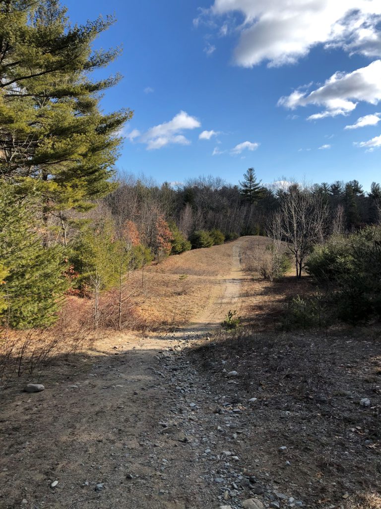
Flat Rock Hill Conservation Area
The Town of Dunstable purchased the Flat Rock Hill Conservation area in 2007 with state grant and CPA funds. The property, located in north central Dunstable, is just west of Salmon Brook. It includes the summit, and south and east slopes of Flat Rock Hill, the fourth highest hill in Dunstable (elevation 347 feet). There is extensive upland forest of…
Join our email list
Find out about upcoming events like guided walks, volunteer trail cleanups, invasive plant work and more.
News from the Town of Dunstable Conservation Commission
TIMBER CUT Site Walk with Forester September 20th, 10AM
The Dunstable Conservation Commission harvests timber on some of our properties -- and a cut is proposed to occur on the Spaulding Proctor... more ››
FEMA Flood Map Updates
The new FEMA flood maps became effective in our community last month on July 8, 2025.